New Little France Park Innertube Map Launched!
In 2018 Edinburgh and Lothians Greenspace Trust (ELGT) published a pocket-sized map called the Innertube Map, Greenspaces Edition, detailing off-street traffic-free cycle paths across Edinburgh. Following new and improved active travel routes through Little France Park, as well as upcoming community engagement and behaviour change projects, ELGT have released a new Innertube Map showing active travel routes in and around the Park, which was funded by Edinburgh & Lothian Health Foundation and Smarter Choices , Smarter Places.
Little France Park is a 45.75-hectare (113-acre) site bordered by the Royal Infirmary of Edinburgh hospital, housing developments and Craigmillar Castle Park. The Park boasts great views from its cycleways and pathways including Craigmillar Castle, Edinburgh Castle, Arthurs Seat, the Pentland Hills and the Firth of Forth. It also provides an important refuge for wildlife and with the support of Scottish Natural Heritage, ELGT working with the landowner City of Edinburgh Council, have been able to create meadows, plant more trees and create hedges, all of which will help increase the Park’s biodiversity.
As well as its benefits for wildlife, the Park also provides an important resource for local communities and hospital patients, visitors, staff and students. It provides them with active travel and recreational opportunities as well as a place for quiet contemplation, helping to improve people’s health and wellbeing. The new active travel routes delivered by ELGT on behalf of the City of Edinburgh Council, provide safe and enjoyable links to such places as the Royal Infirmary hospital, Danderhall (Sheriffhall) and Craigmillar. The active travel routes were funded by Sustrans, City of Edinburgh Council, NHS Lothian, Scottish Enterprise and Central Scotland Green Network.
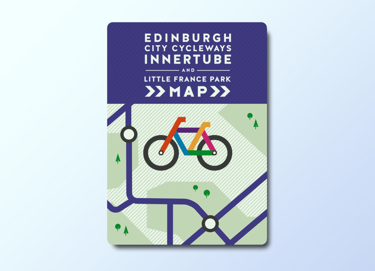
The new Little France Park (LFP) Innertube Map is laid out in a style similar to the London underground, making it easy to see route locations and how they interconnect. A wider map of off-road routes in Edinburgh is also included as well as a more detailed map of LFP, providing information on its facilities and wildlife areas. In addition, it provides information on other nearby parks to visit and their facilities.
In conjunction with the new LFP Innertube Map, ELGT aims to increase the Park’s, and its active travel routes, use through raising awareness via promotion and community engagement. For example, a variety of events at the Park such as bike to school week, cycling competitions and guided walks will be held. This will hopefully help to change behaviours and get more people cycling or walking and less driving. ELGT will also be improving the Park’s signage and information by installing four new interpretation/orientation signs, making the site easier to navigate and providing visitors with interesting information, making it a more welcoming and attractive place to visit.
If you would like a copy of the LFP Innertube Map, please email sarashka@elgt.org.uk.
To find out more about the projects ELGT have been involved in at Little France Park click here.